King Tide Monitoring Program
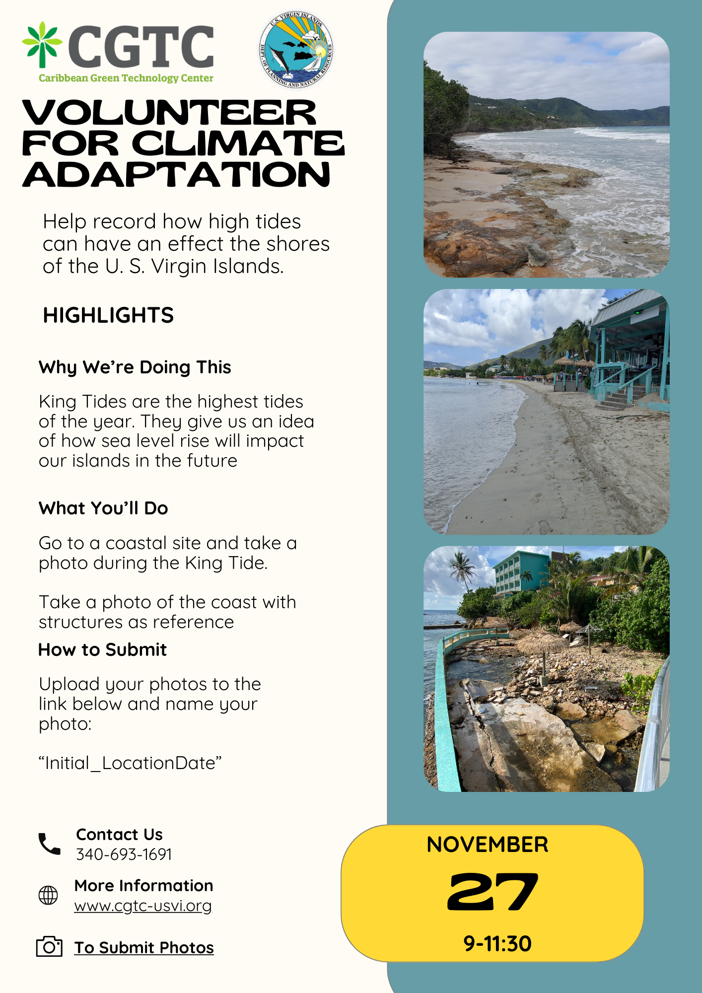
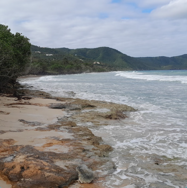
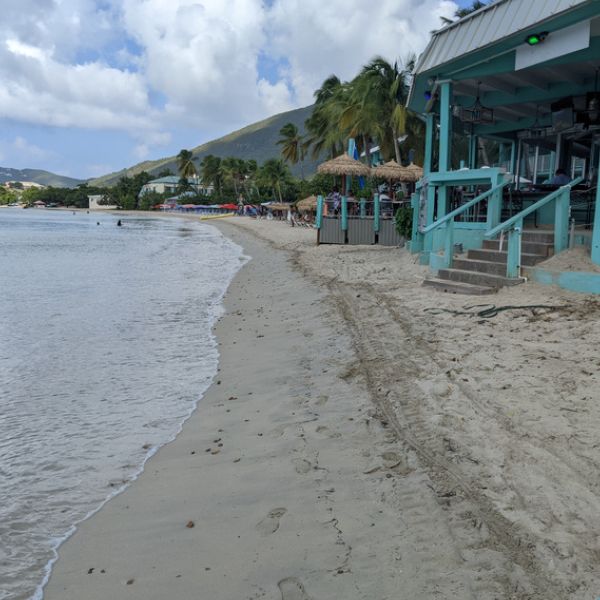
King Tides are the highest tides of the year, and can show us the effects that sea level rise may have on our islands in the future. We are looking for volunteers to go to the sites listed below and take photos during these King Tides. The maps include locations as well as the best time to go to see the King Tide.
How to capture and upload photos:
Go to one of the designated sights November 27th. Go to any coastal area if you can’t get to one of the locations below.
Take a photo of the coast with some coastal structures in frame.
Name the file “Initial_LocationDate” and submit them here or below.
Locations
St. Thomas:
· Magens Bay
· Waterfront
· Crown Bay marina
· Botany Bay
· Red Hook

St. Thomas site map
St. Croix
· Christiansted Boardwalk
· Frederiksted Beach
· Salt River
· Fareham Bay
· Teague Bay
· Graptree Bay

St. Croix site map
St. John
· Cruz Bay
· Hawknest Bay
· Coral Bay
· Lameshur Bay
· Lovango Cay

St. John site map