


USVI Hazard Tracking Initiative
The Caribbean Green Technology Center (CGTC) of the University of the Virgin Islands (UVI) is inviting the community to participate in our new Community Hazard Tracking Data Collection Initiative.
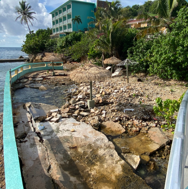
The USVI Community Hazard Tracking Initiative led by UVI CGTC is being undertaken to gather data about the climate-related phenomena and hazards impacting the U.S. Virgin Islands. We need your help in identifying when, where, and how these climate, climate change, and man-made hazards (land & rockslides, flooding, heat-related hazards, power outages, etc.) are impacting our community, to help guide mitigation policies in the territory.
How to capture and upload photos:
Take a photo whenever you experience the impact of a natural hazard, especially if you can include any structures in frame.
Name the file “Hazard_LocationDate” and submit them here or below.
Note: Submission of information (photos, videos, summaries, etc.) will be taken as implicit consent for the CGTC to use the same for research purposes (including publication) and to fulfil the mandates of the CGTC.
There is also the UVI CGTC USVI Community Hazard Tracking Facebook Group at https://www.facebook.com/groups/usvihazardtracking to post photos, videos, and summaries of climate-related phenomena, hazards, and advisories in the U.S. Virgin Islands. We ask that you, please, keep it local (please only include data for & from the U.S. Virgin Islands).
For further details please contact Dr. Gregory Guannel at (340) 693-1158 or email gregory.guannel@uvi.edu.